2020 PROJECTS
The following is a short pictorial and description of some of our more large scale and technical projects from the 2019-2020 calendar year. Please feel free to reach out and contact us for any questions about prices, licensing, permitting, etc. 2020 is here and we can’t wait to get out there and tackle your job head on. Have a great Day!!

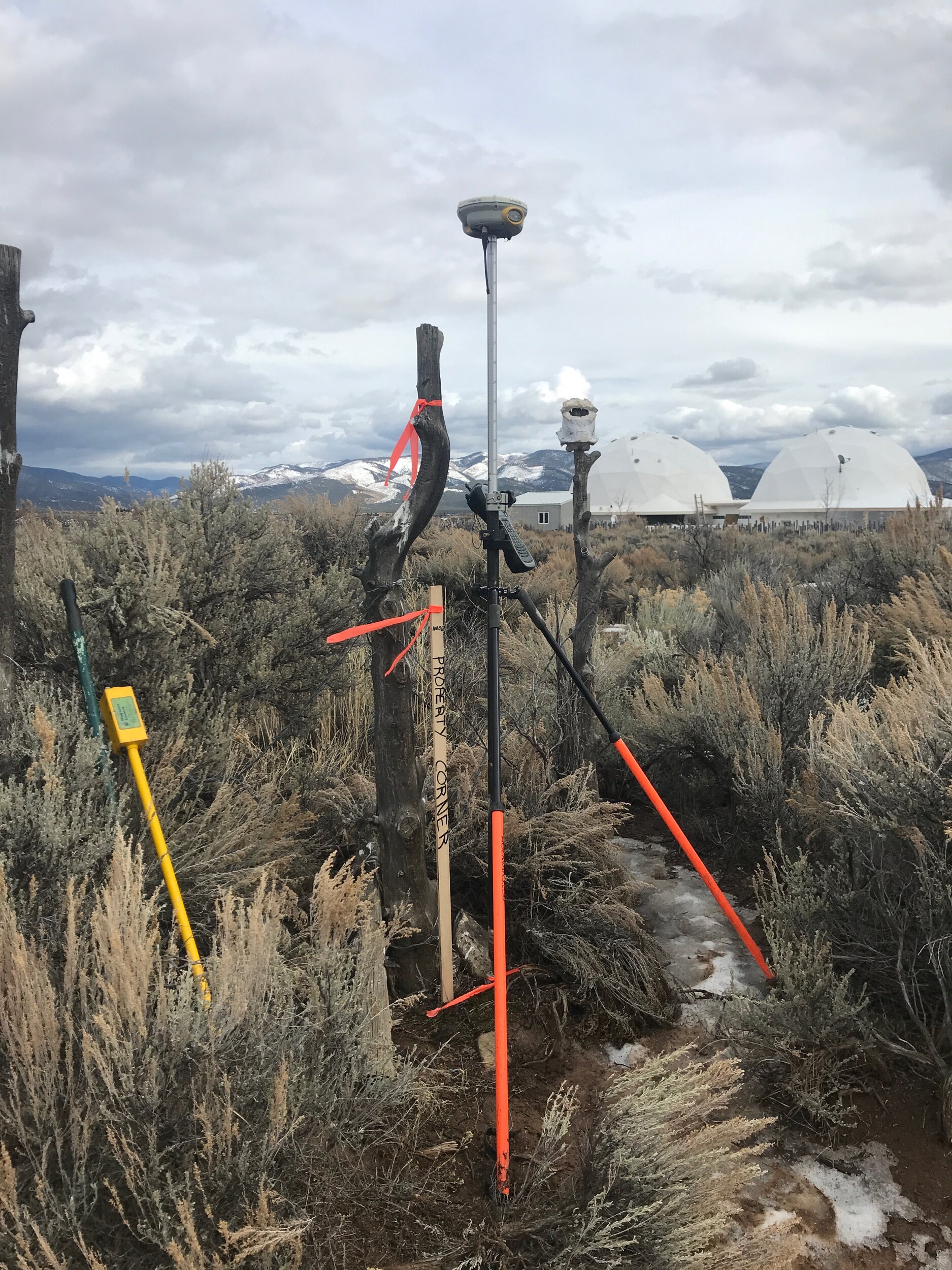
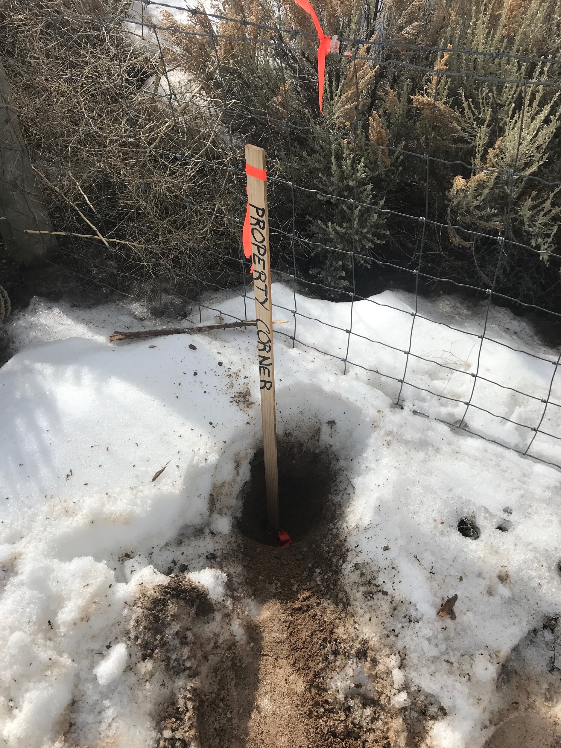
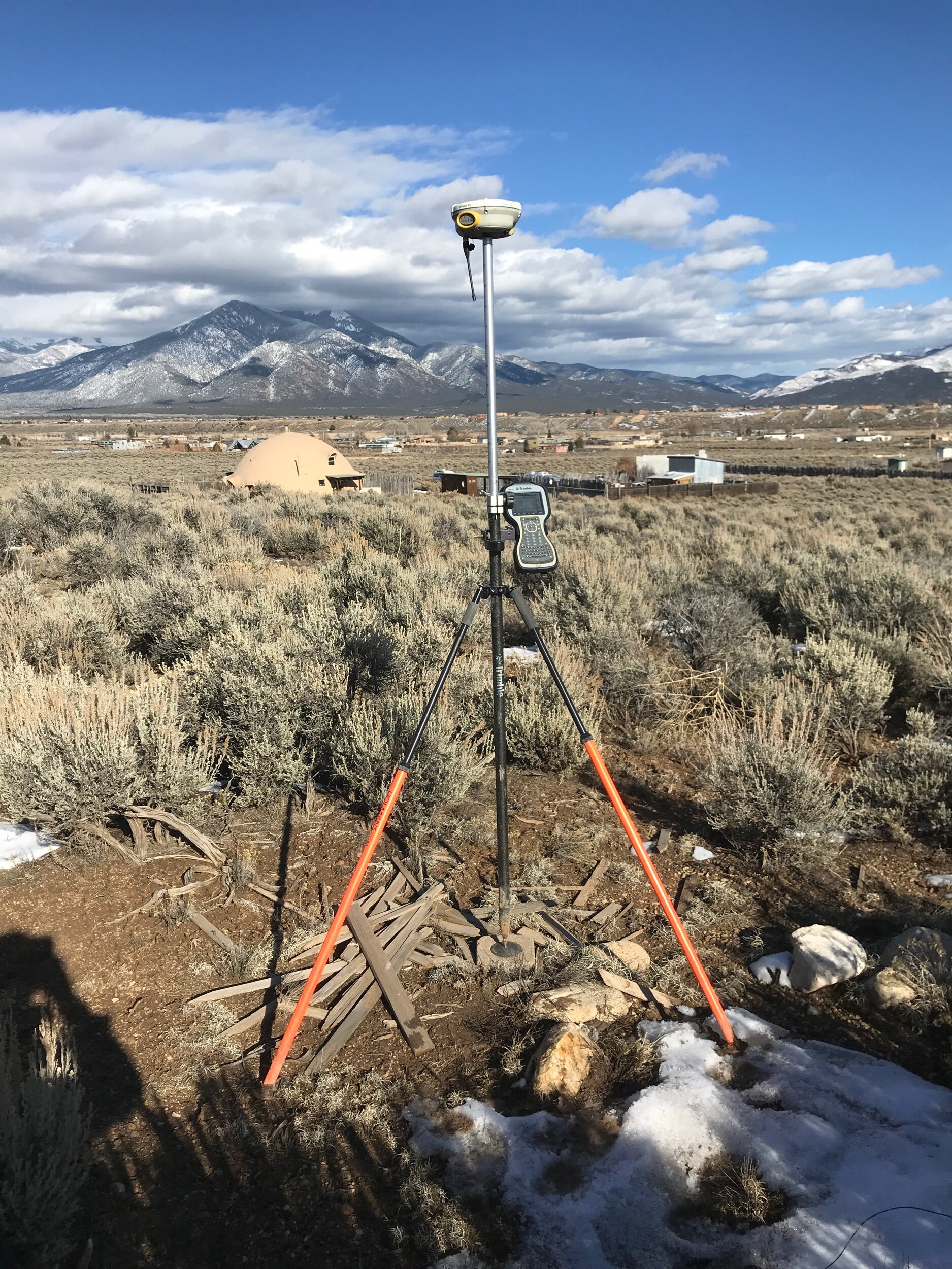
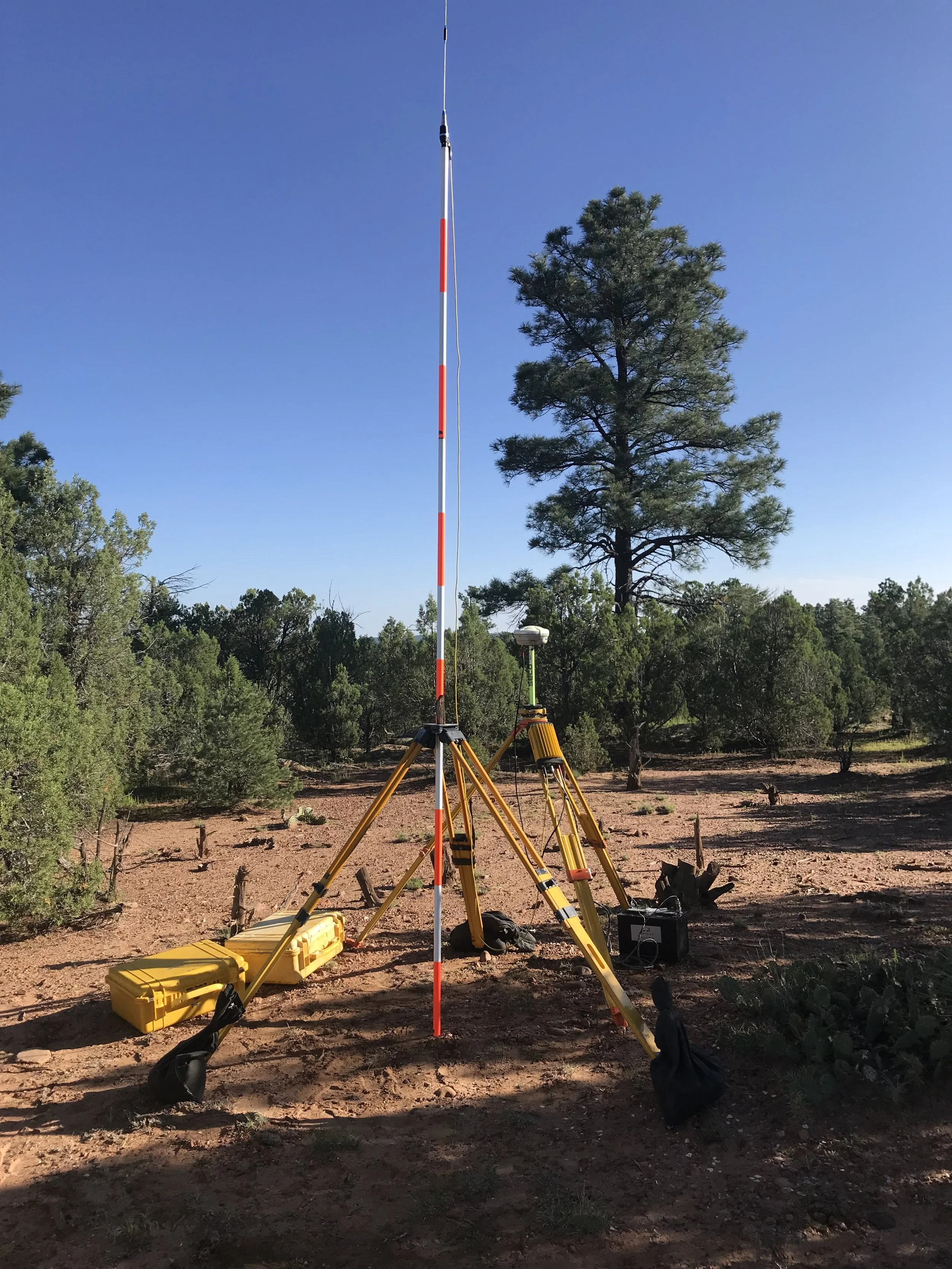
641 Acre Boundary/Topo Survey, Taos NM
Infinity Land Surveying recently completed this large scale (641acre) boundary and topographic Survey on the Western slope of the Taos Mesa in Taos, NM.
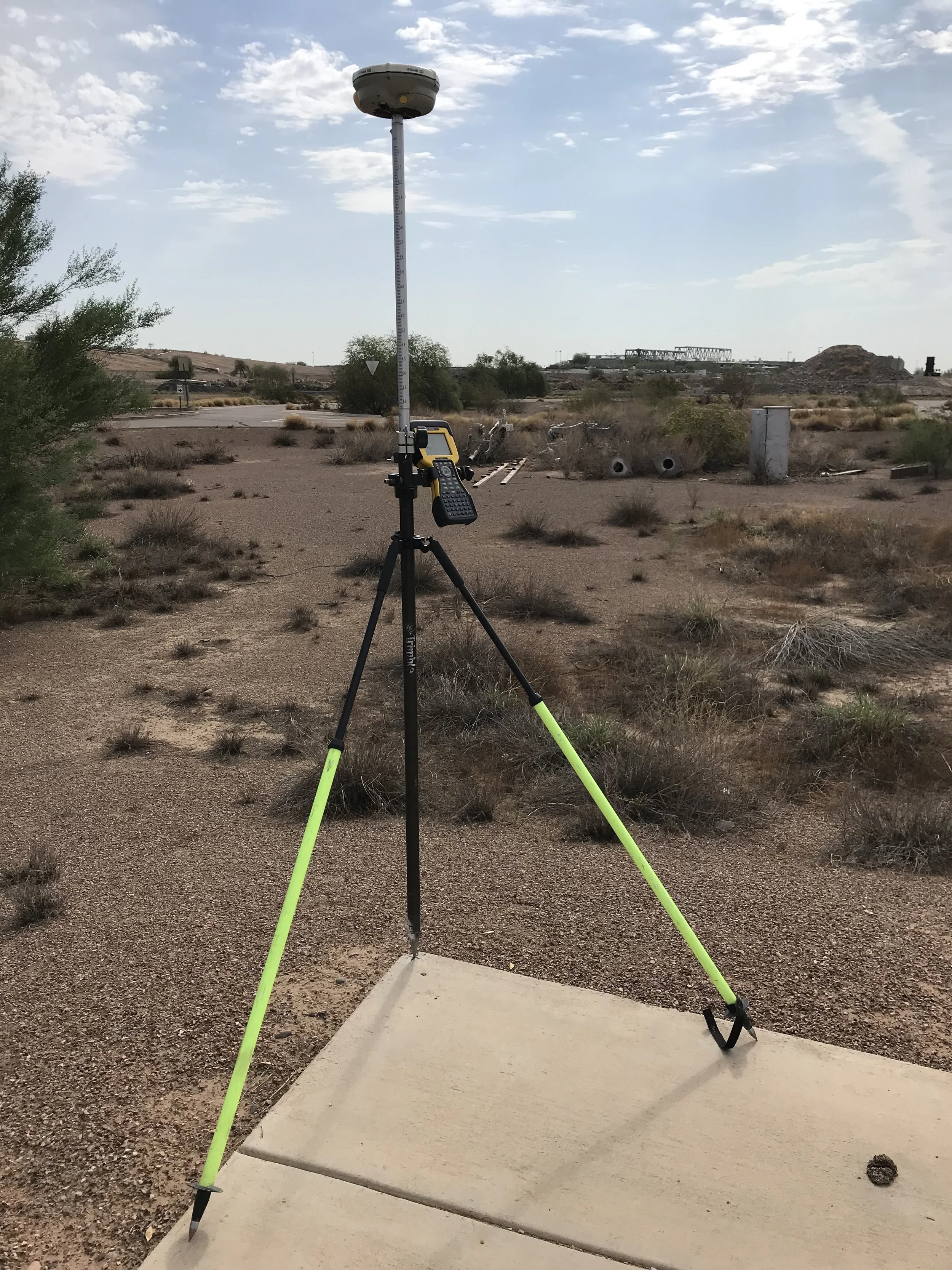
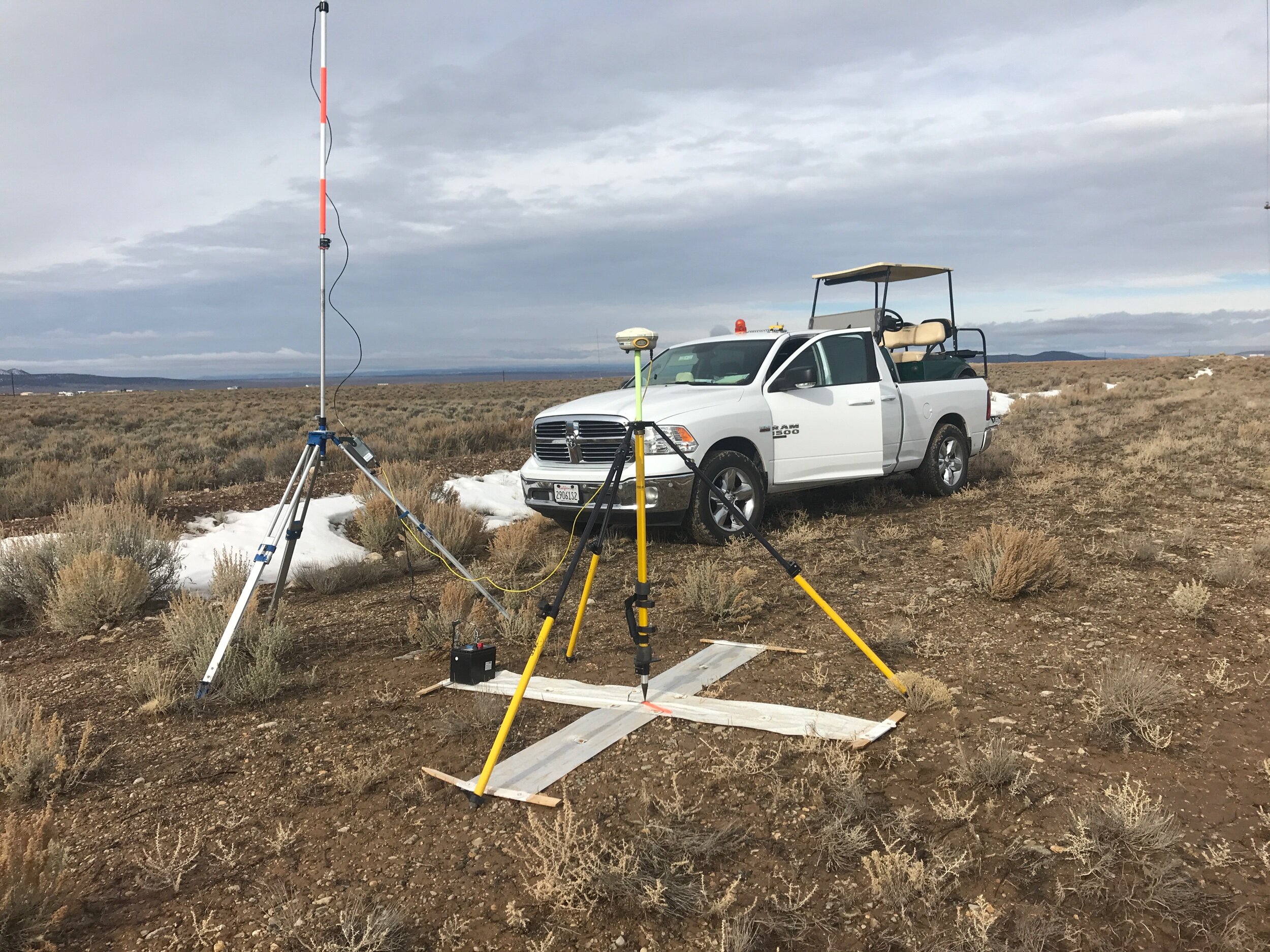
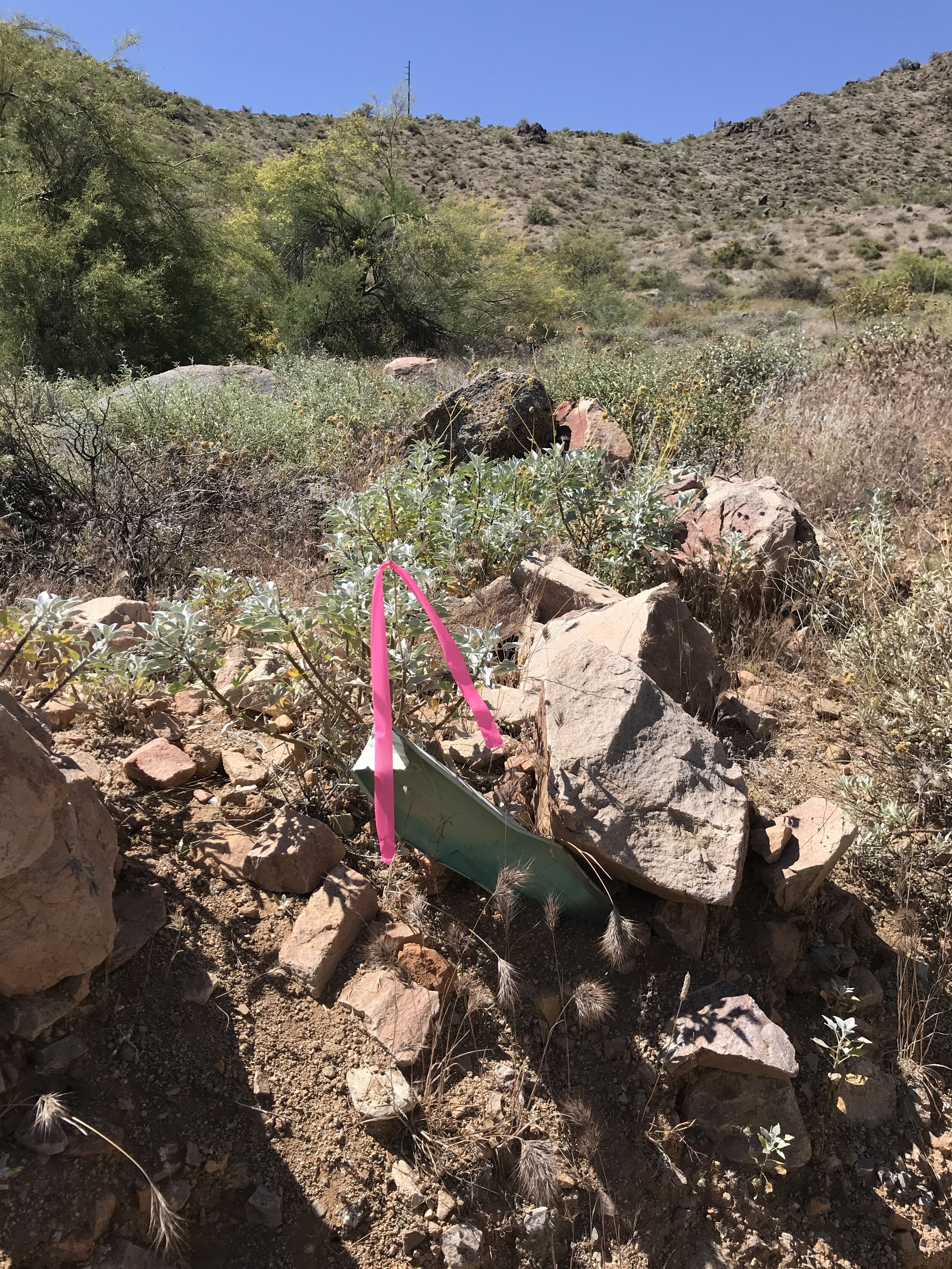
Our seasoned field crew tied the horizontal and vertical control to NGS first order, A stability positions. Once the control points were collected, 19 Aerial Targets were set around the perimeter of the project to provide geometric control and coordinates to our flight crews. The static data was then post processed and reduced to the NM State Plane Coordinate System (Central Zone). All remaining project data was collected in this format.
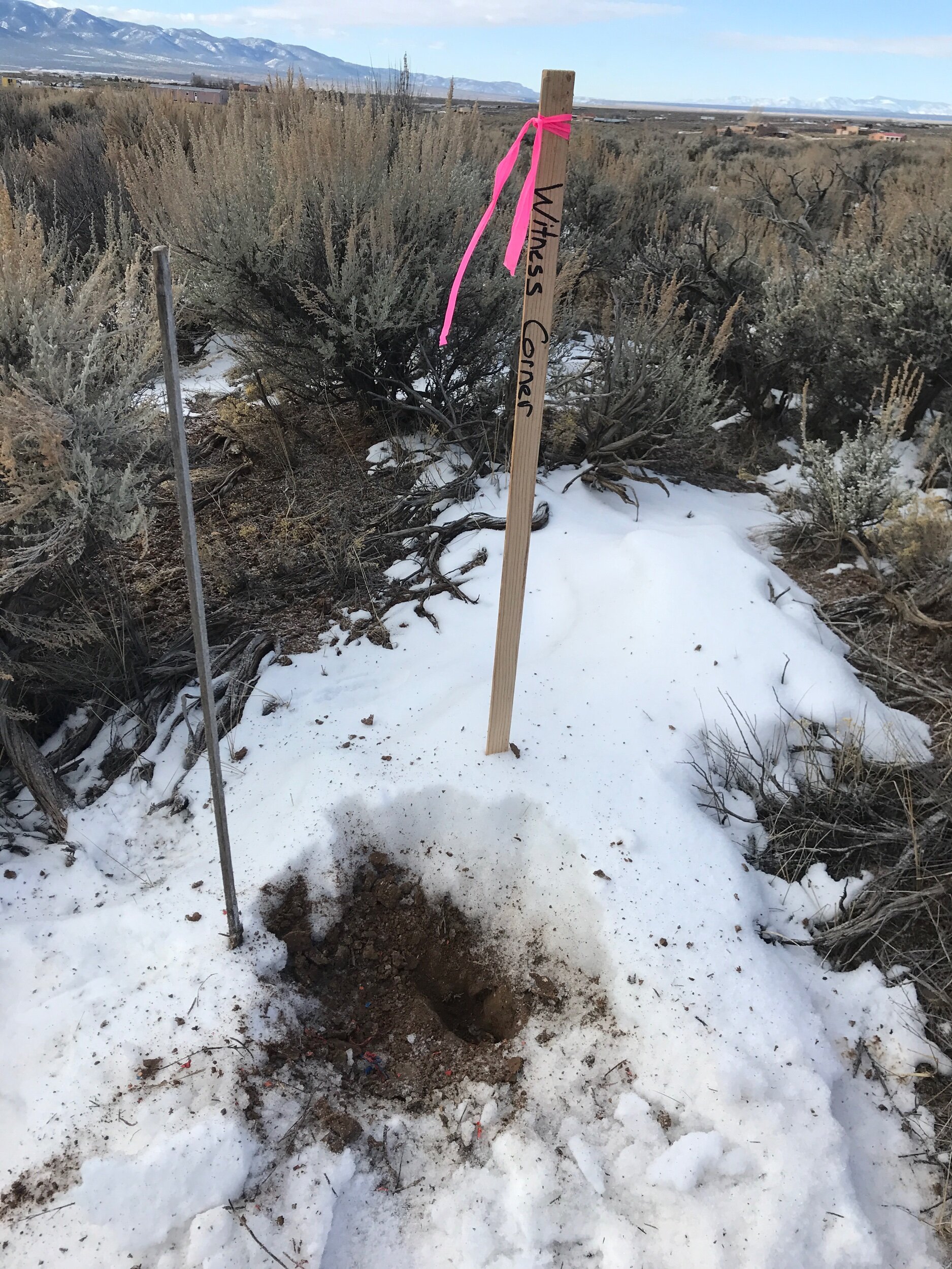
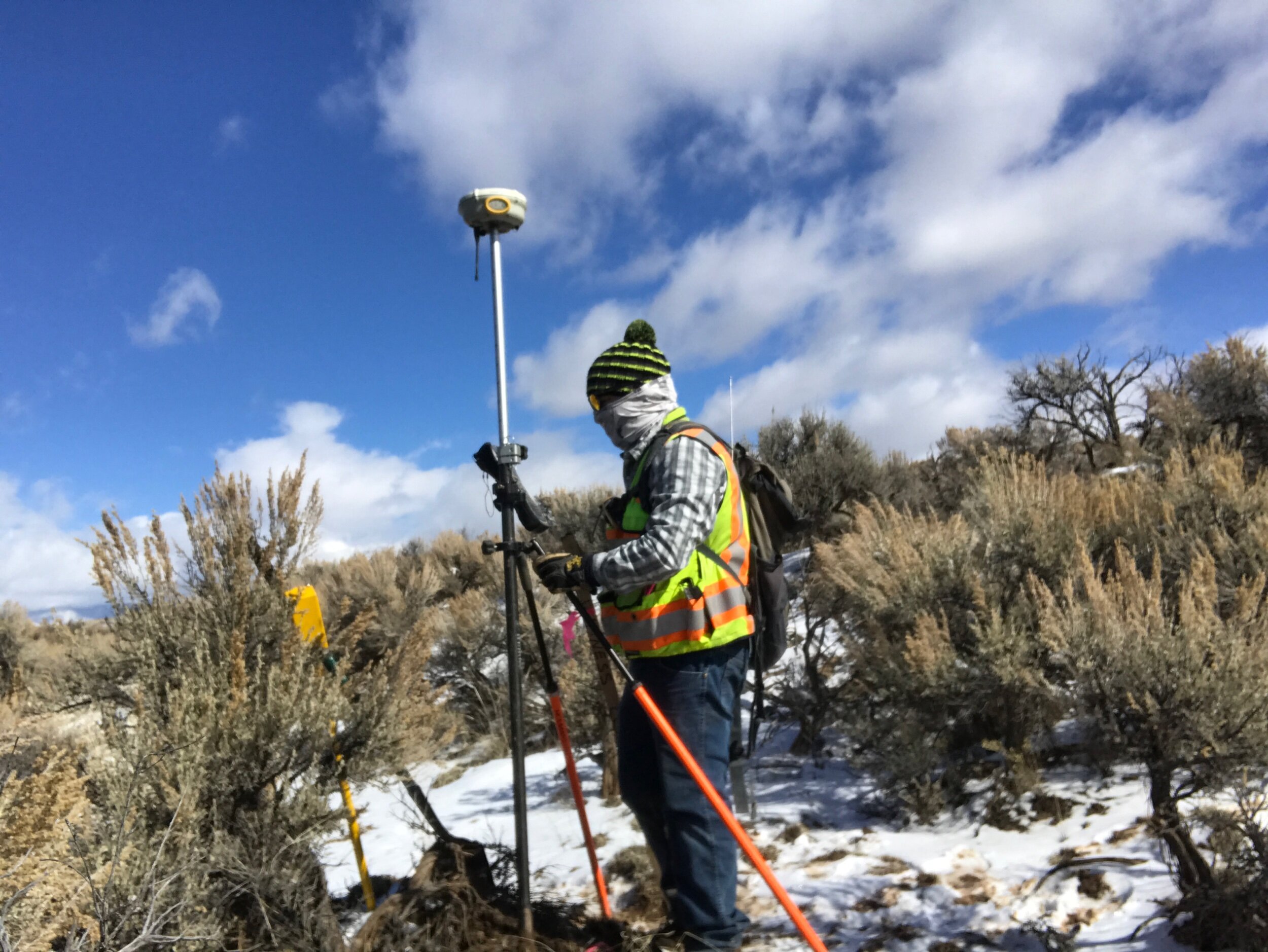
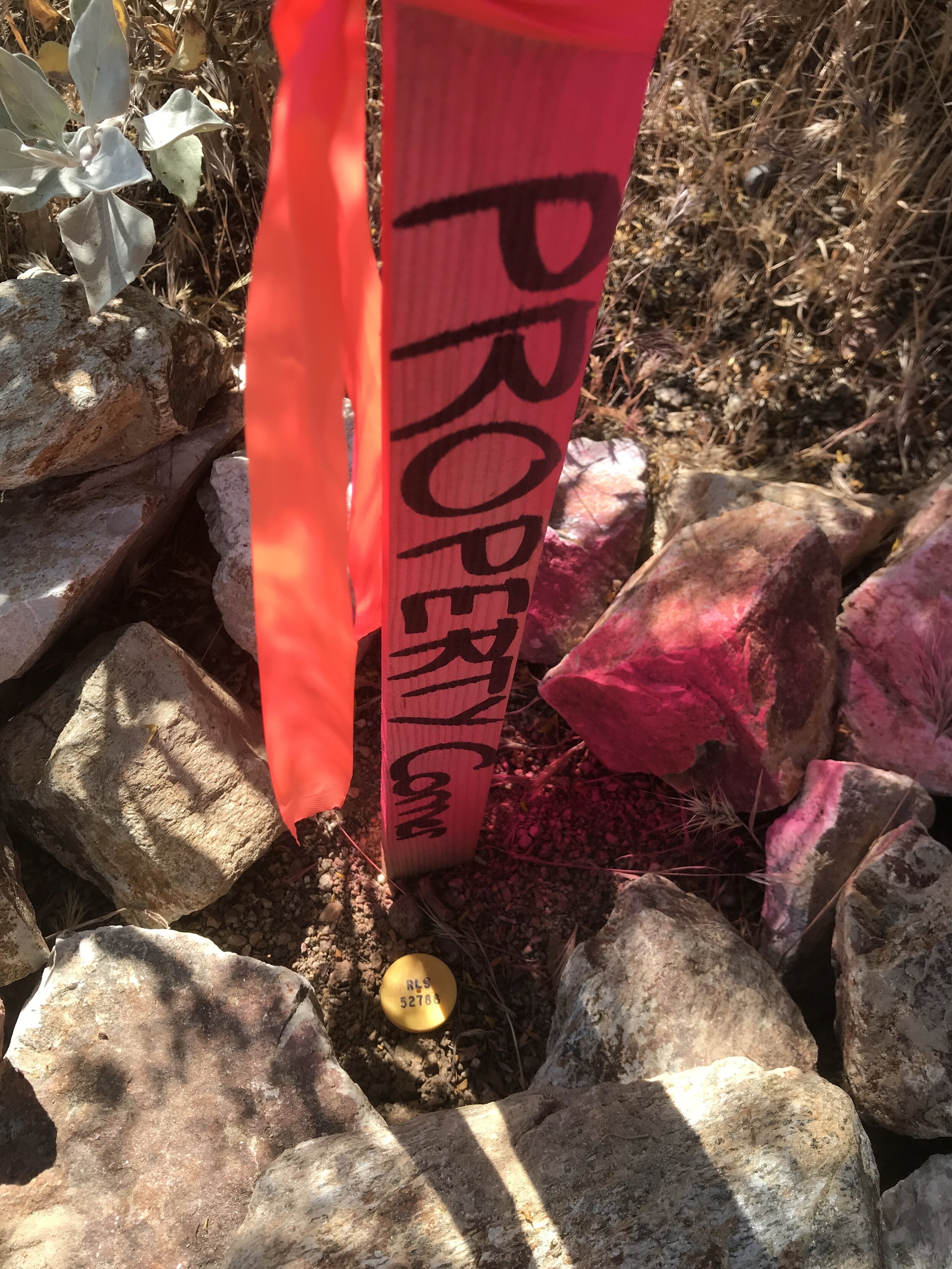
The next step of the project was the Boundary Survey. This step was very time consuming as the Title Report revealed a rats nest of historical documents, Outdated Surveys, Spanish Land Grants, Water Rights, Easements, and Court Cases.
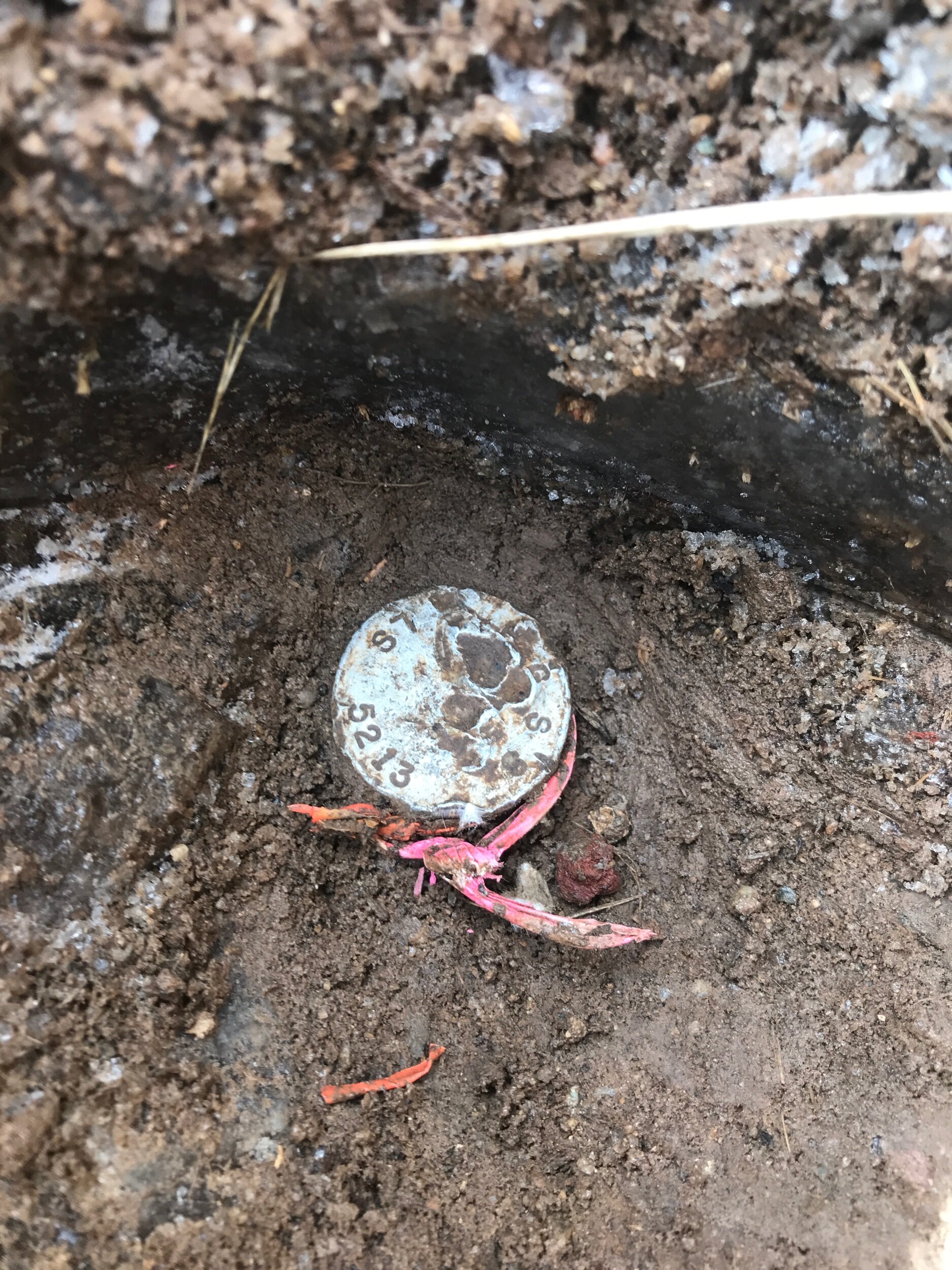
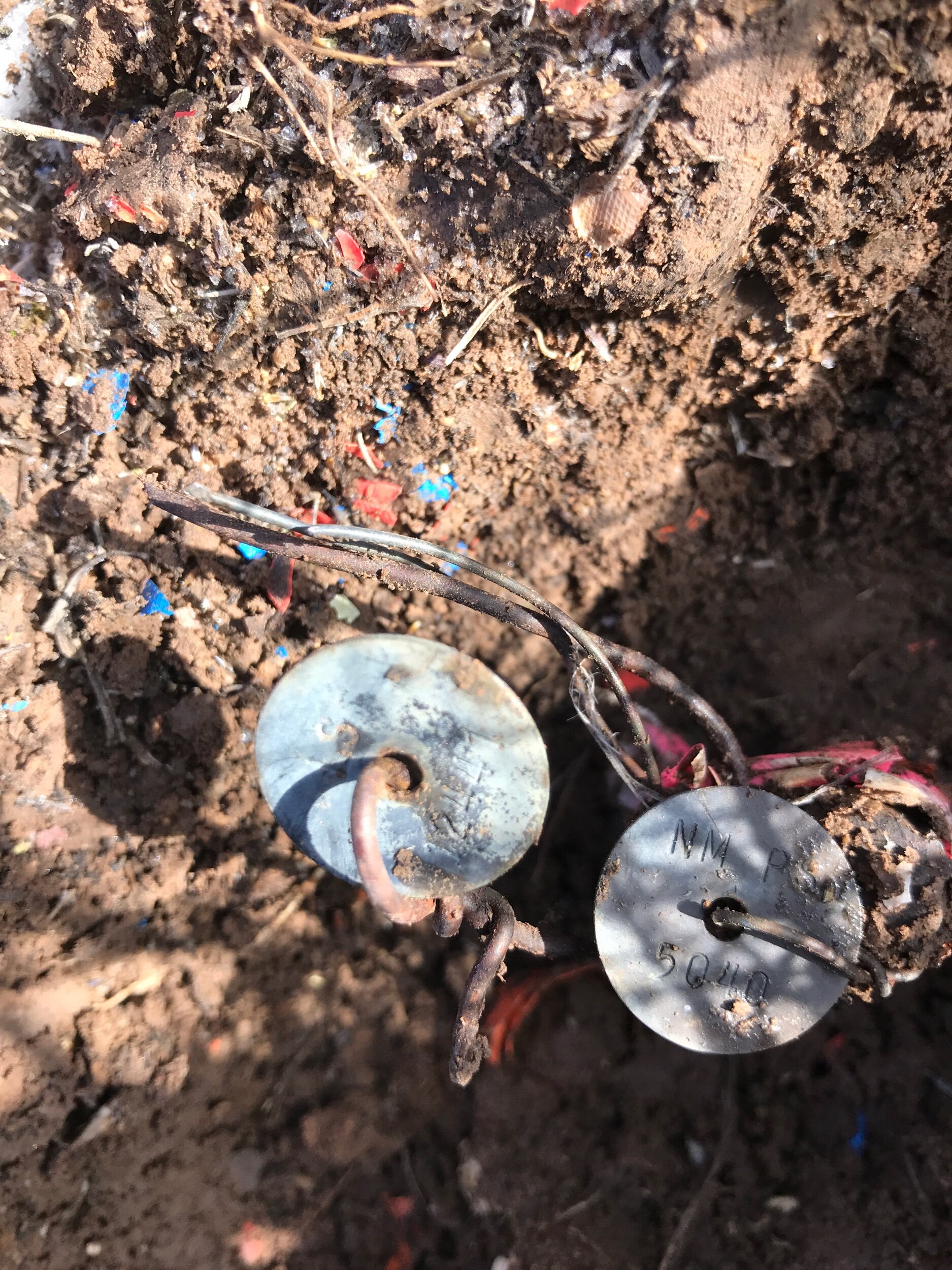
Once all of the neighboring surveys were drafted up in auto cadd, our CADD operators rotated and translated the polygons to try and make them fit/align with each other. Next they calculated search coordinates and sent a .csv file to the field crew. The field crew uploaded the .csv file in to their data collectors and spent the next 4 days collecting over 56 found monuments (all of which were called out in previous Surveys). They dug through Snow, ice, mud, frozen rocks, and even water to find these ever so important monuments.
The final Boundary Survey is being drafted up as I am typing this and we have just received the orthophoto. Can’t wait to put it all together for delivery.😉 Let us know if you have a similar project and we’d be happy to sit down and go over job details and pricing. CHEERS!!

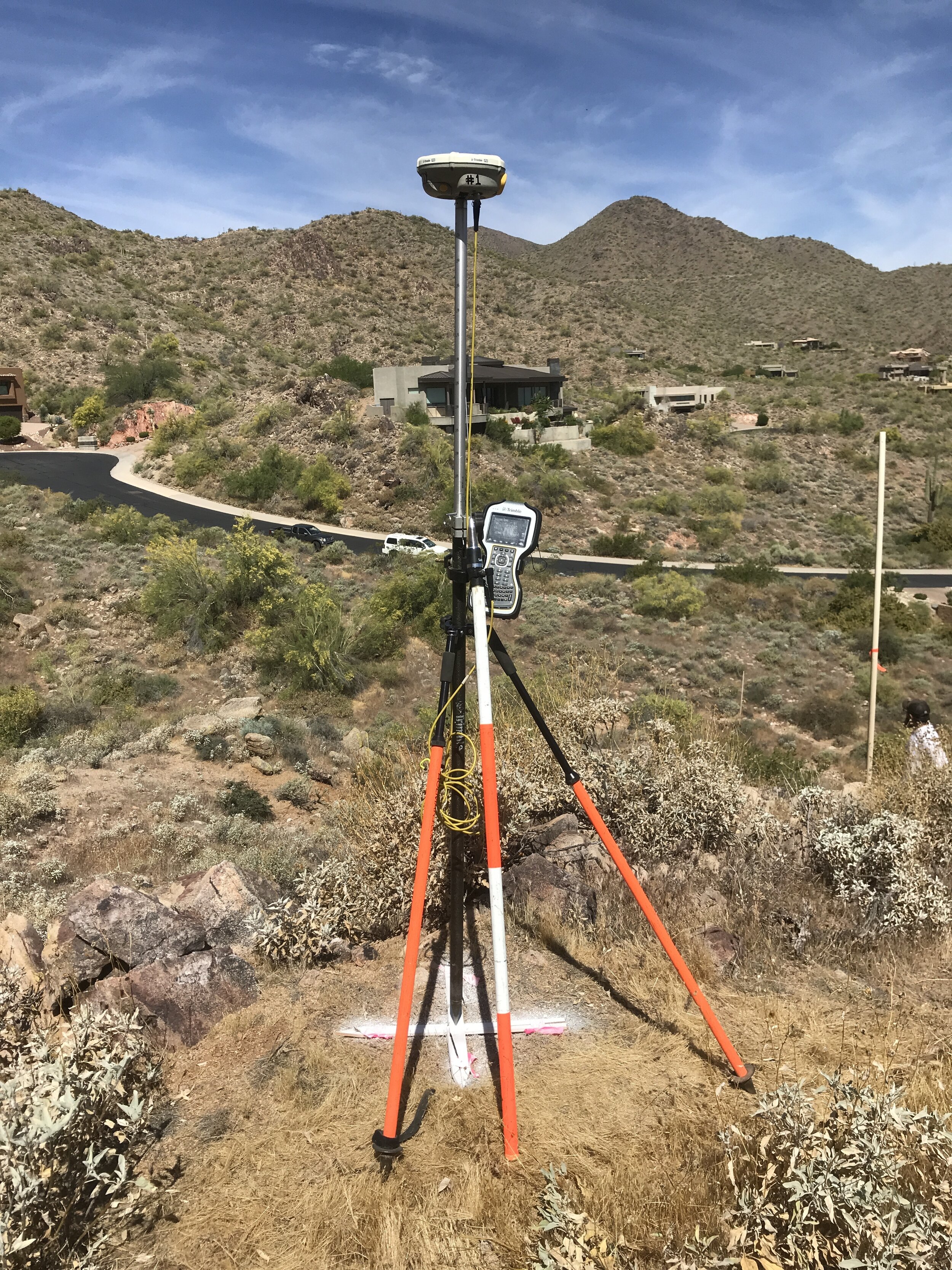
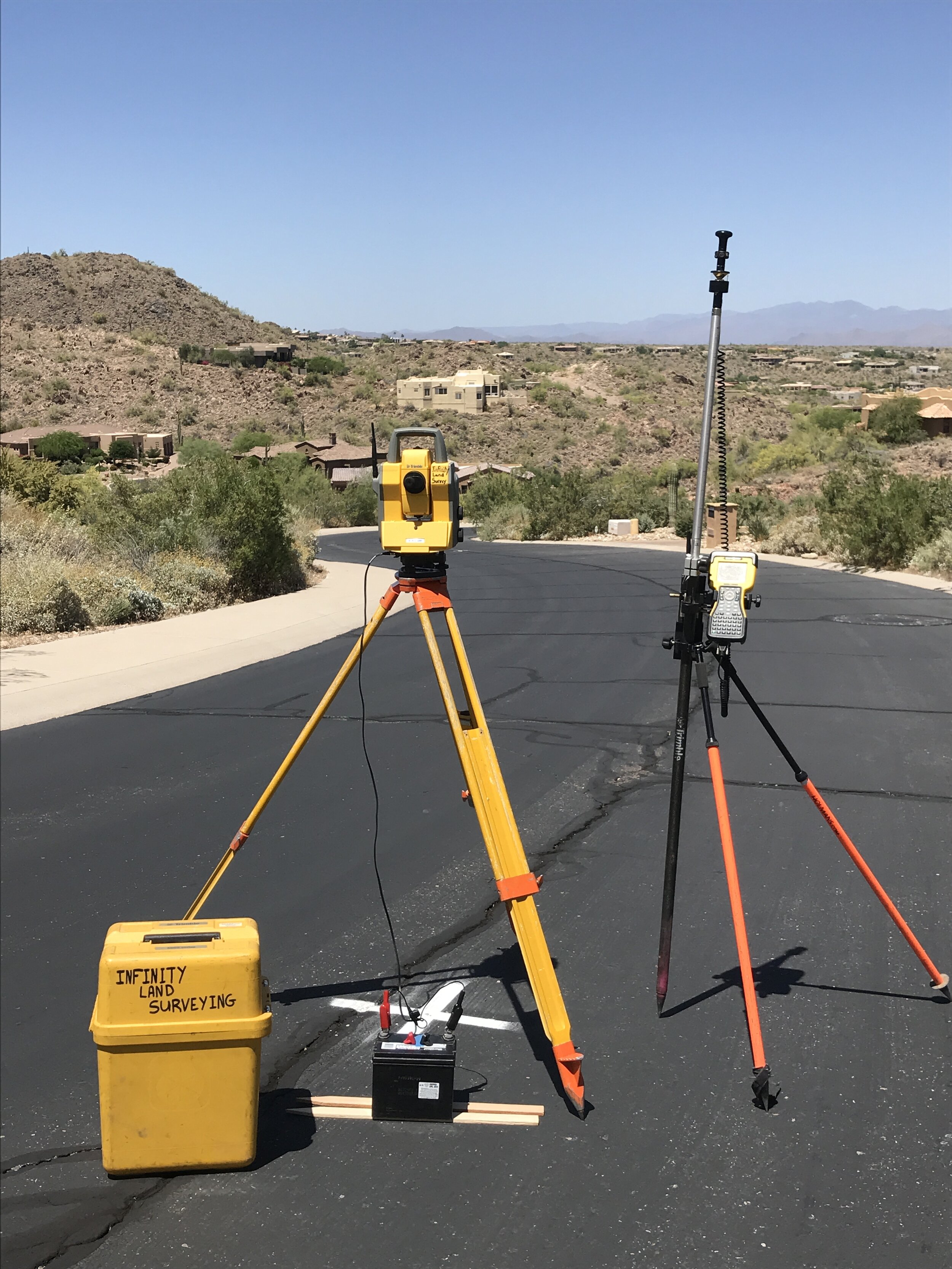
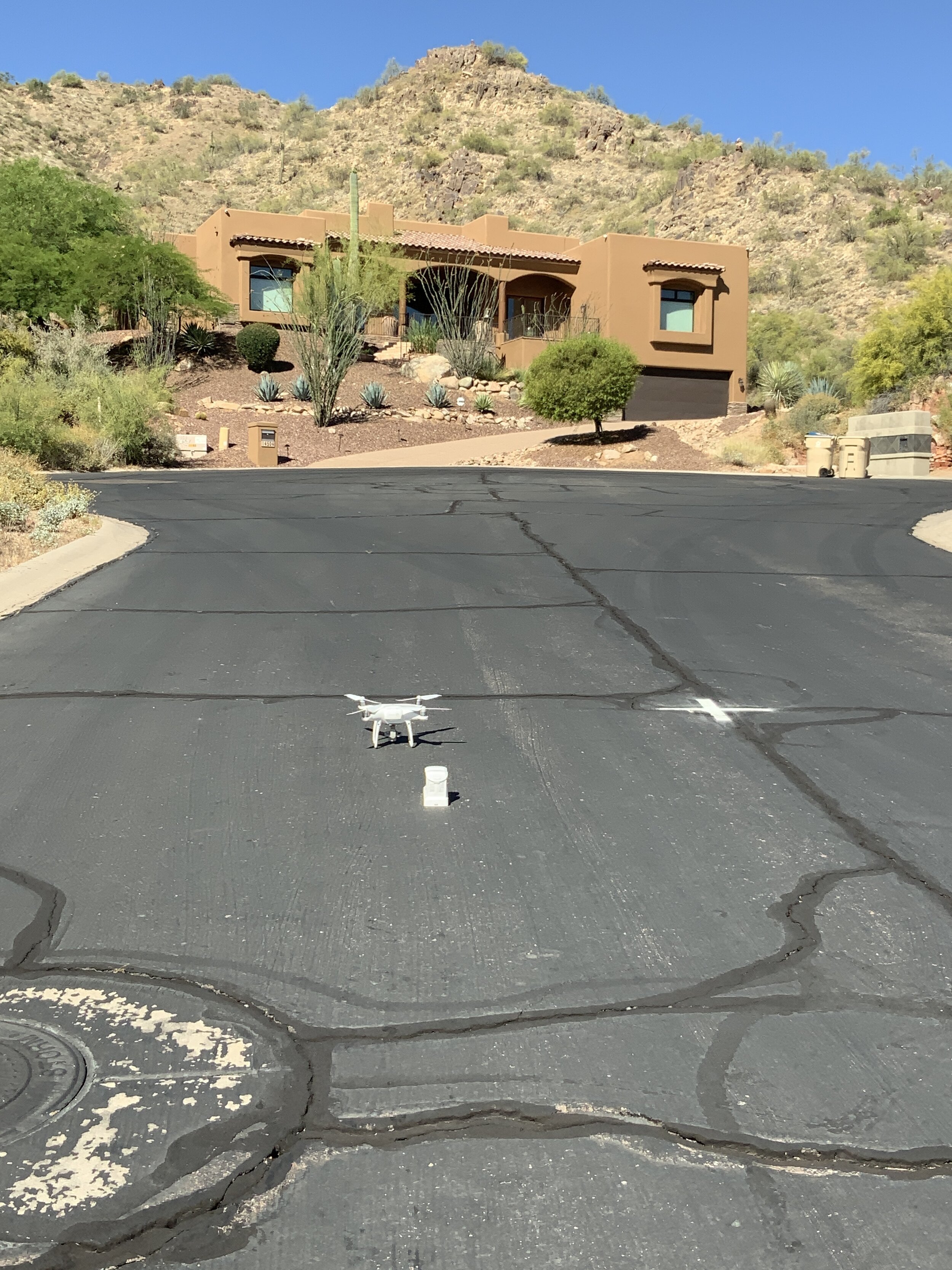
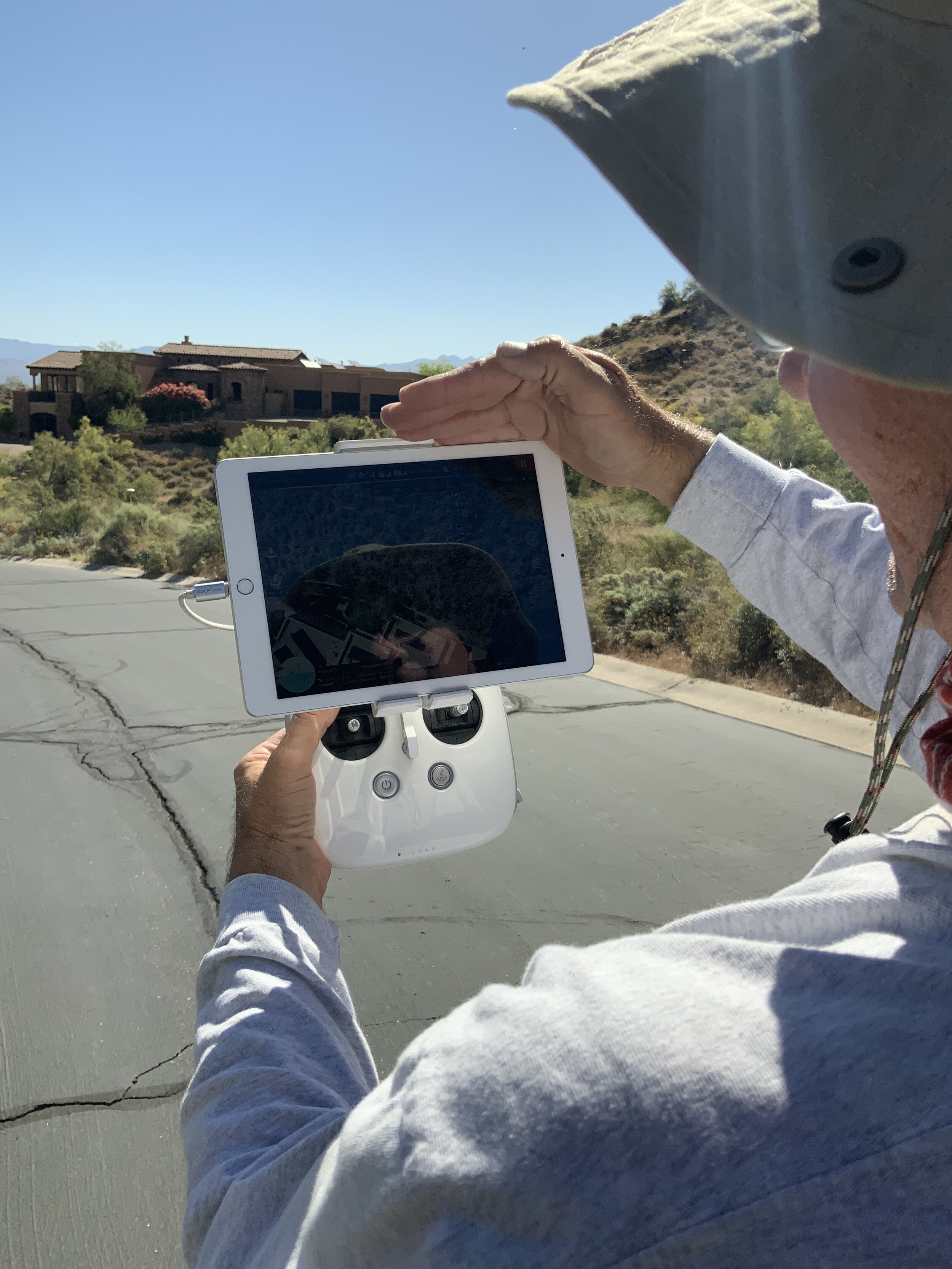
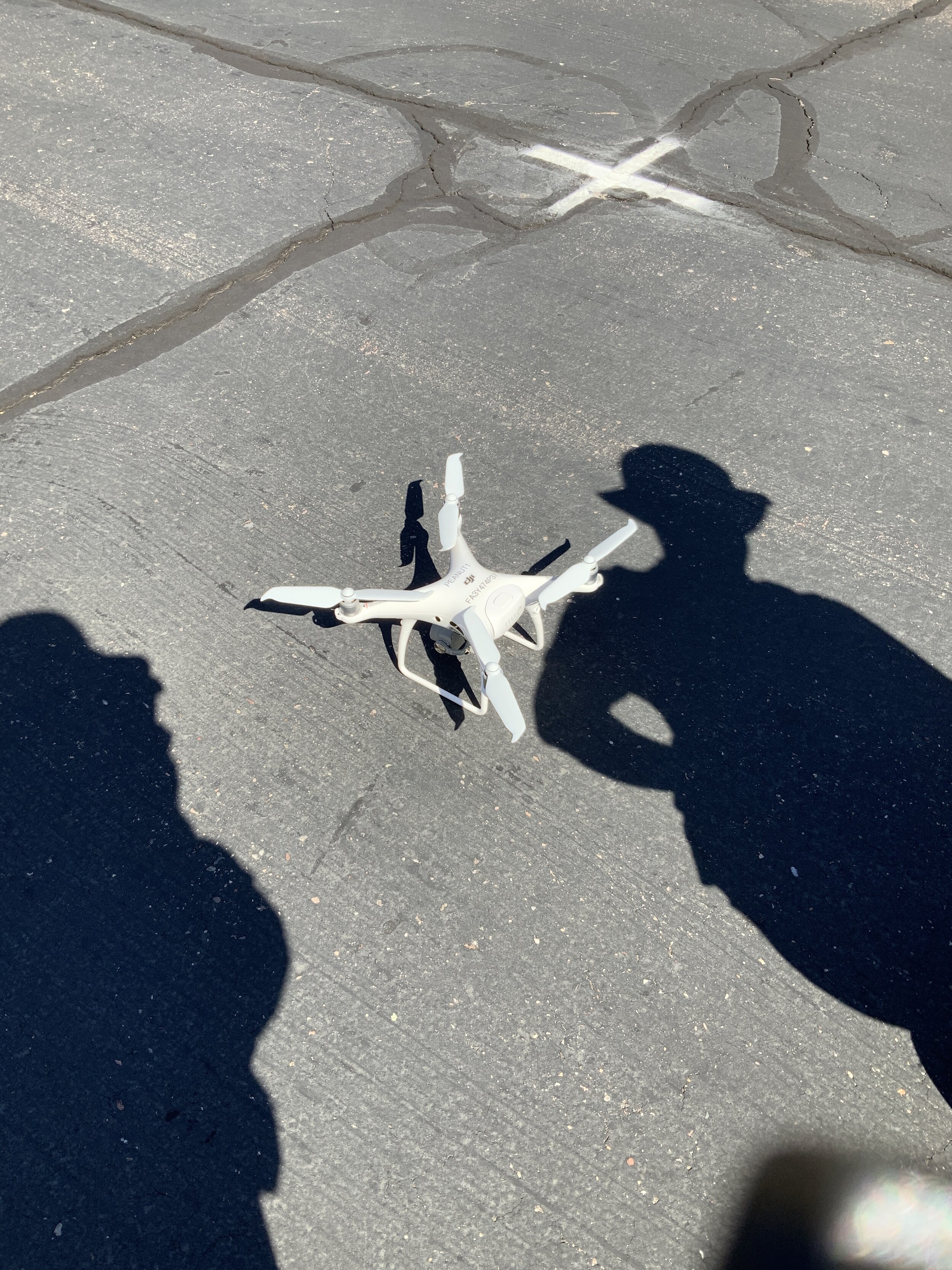
3D Topographical and Boundary Design Survey
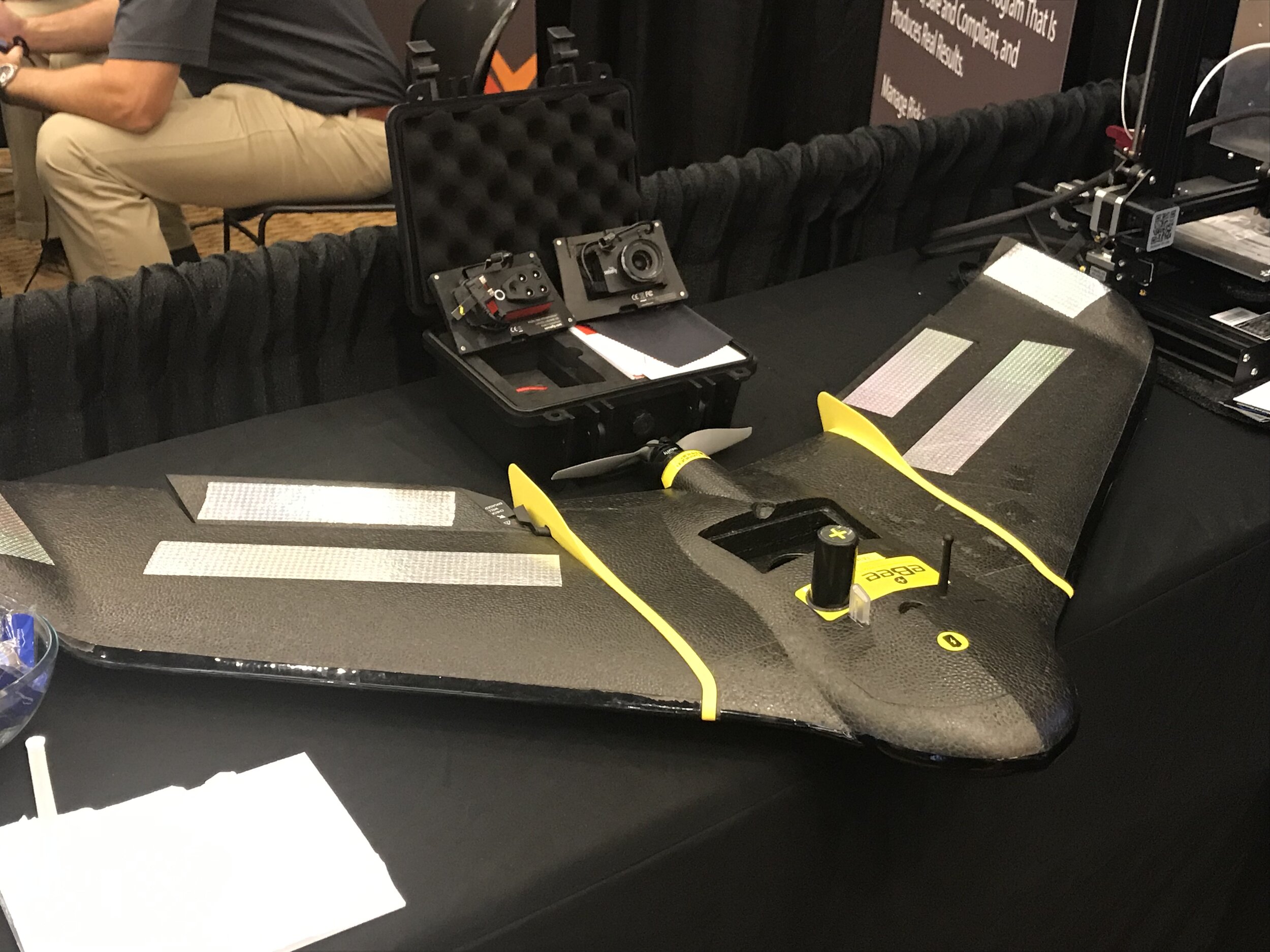
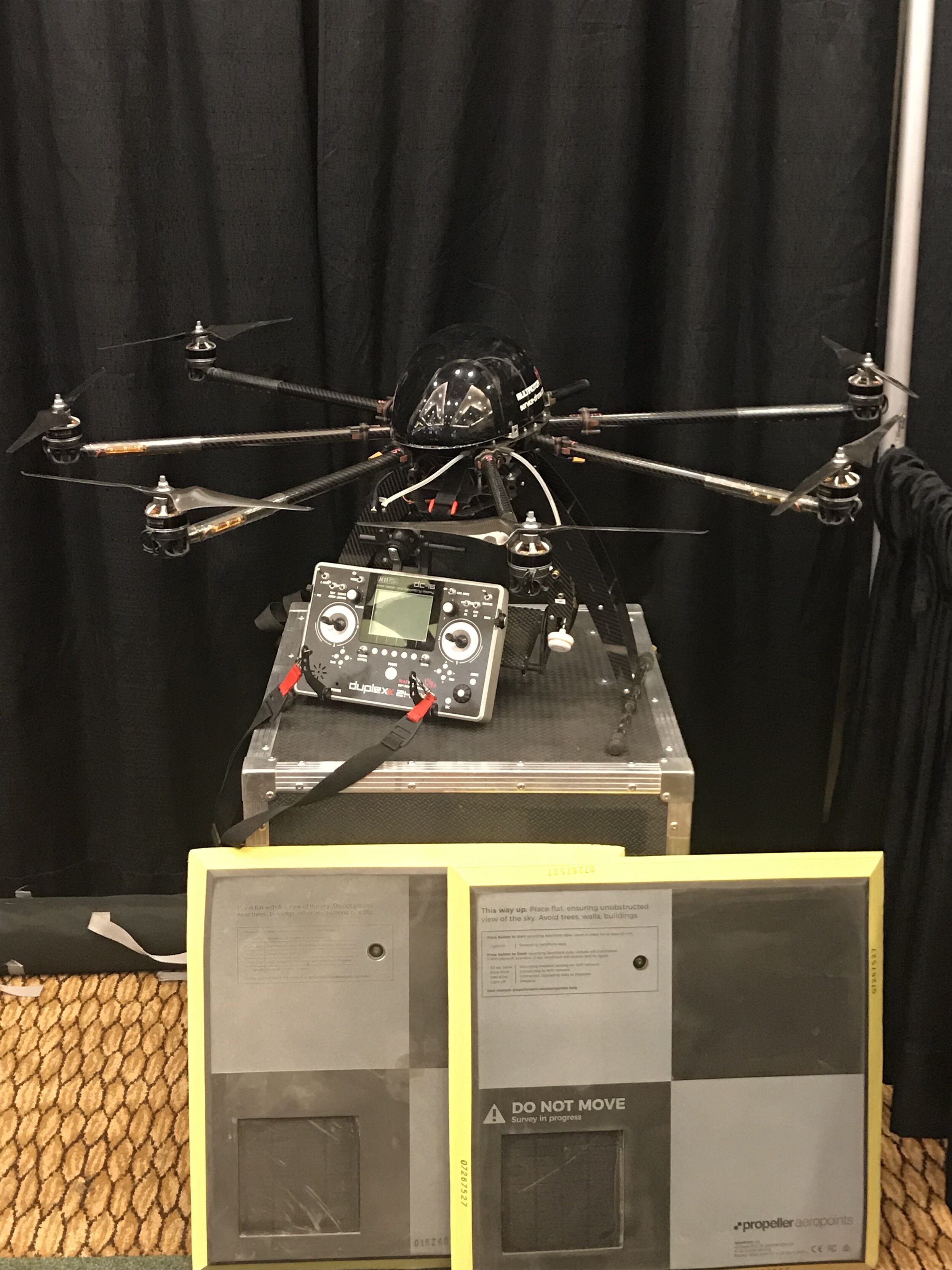
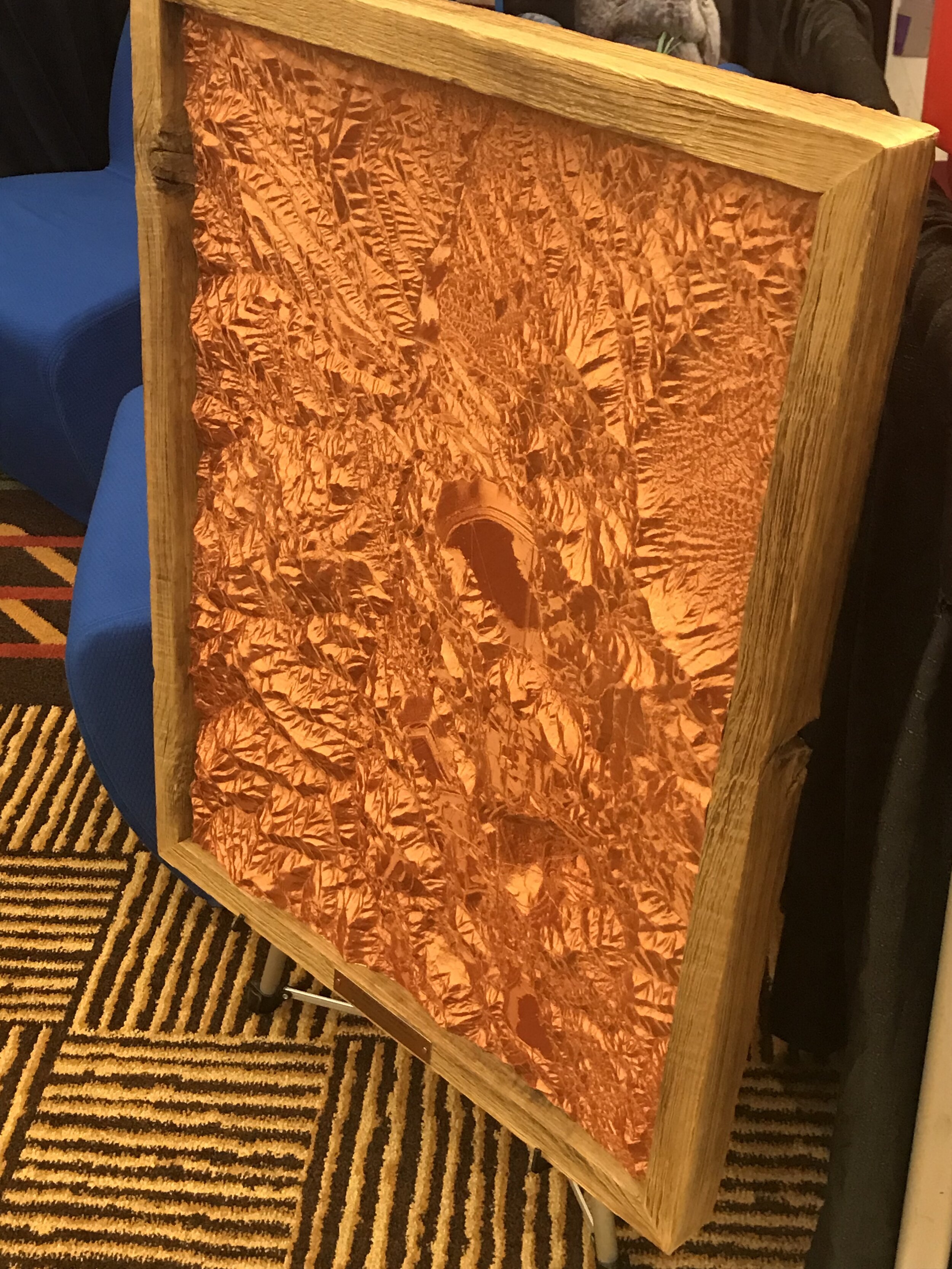
This latest 2020 project consisted of a Topographical Survey for a local Architectural Firm to design/build a custom home on the sharp mountainous canyons of Fountain Hills, AZ. Infinity Land Surveying utilized conventional surveying methods, as well as RTK GPS and UAV Photogrammetry. Combined, these awesome tools produce a wonderful delivery and all of our customers have complimented the attention to detail on our 3D surface models. Call us today to get a quote for your project.

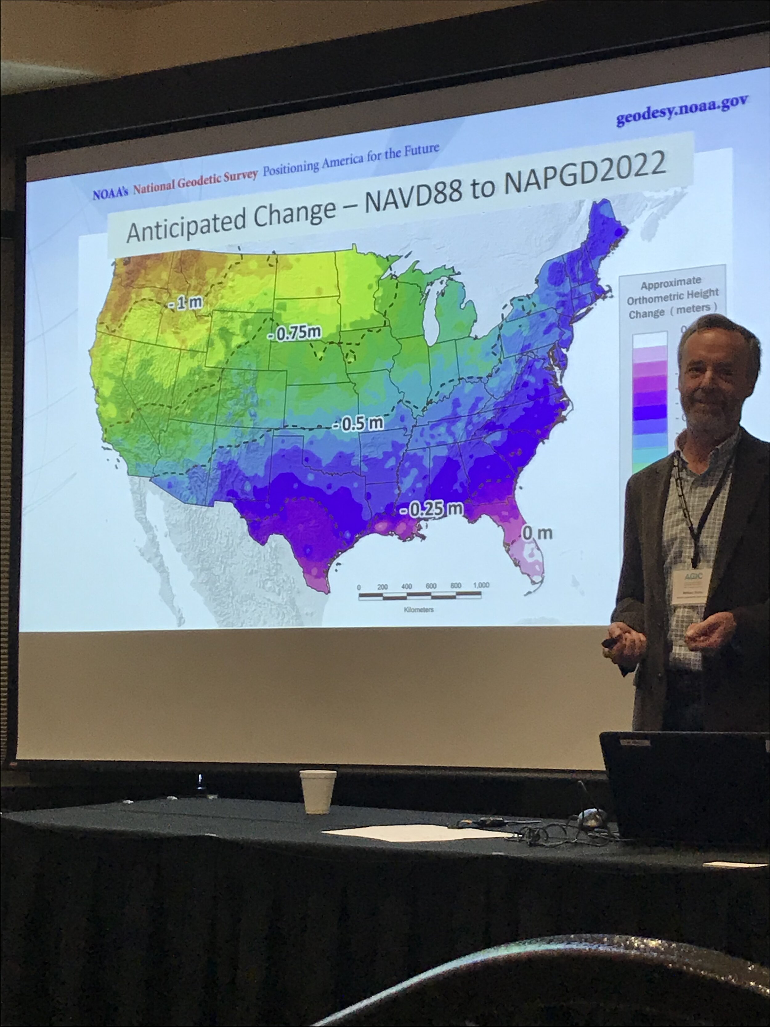
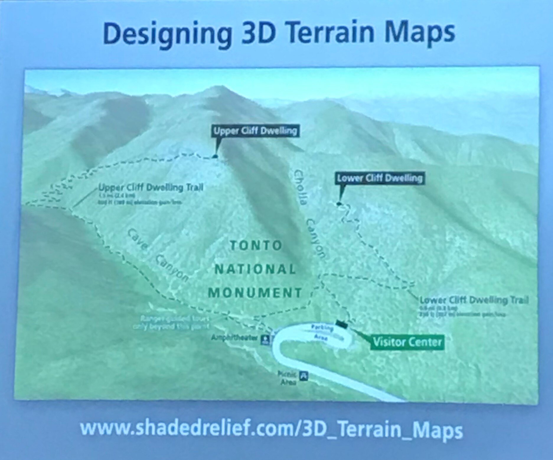
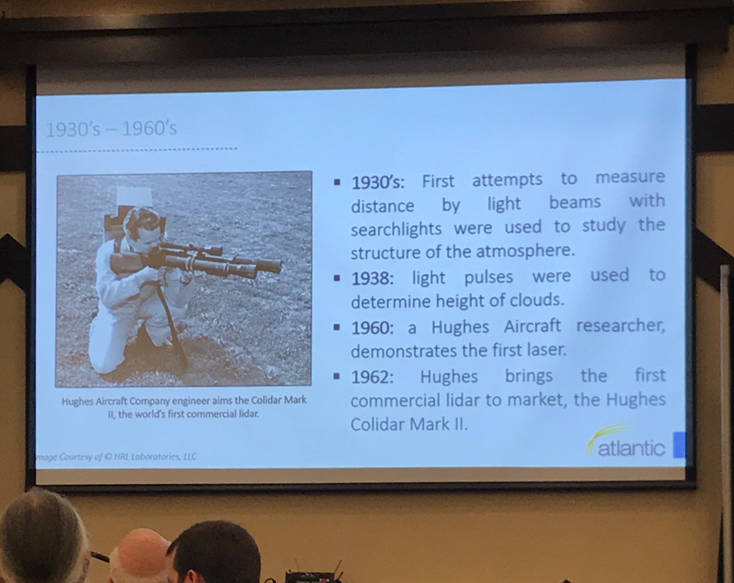
2019 AGIC SYMPOSIUM
Prescott Conference Center, Prescott, AZ
Infinity land surveying made its maiden voyage to the 2019 Arizona Geographic Information Council Symposium in Prescott, AZ this past weekend.
HATS OFF TO THE ORGANIZERS OF THIS GREAT EVENT. THE EVENT WAS VERY WELL ORGANIZED AND HAD SOME OF THE BEST SPEAKERS WE HAD EVER SEEN. I REALLY FEEL LIKE WE WALKED AWAY WITH A SOLID FUNDAMENTAL BACKGROUND ON THE DIFFERENT ASPECTS OF LIDAR, GIS DISCIPLINES, AND ESRI PRODUCT FUNCTIONALITY. iT WAS A PLEASURE TO SPEAK WITH AND LEARN FROM THE SOME OF THE TOP PROFESSIONALS IN THE GEOSPATIAL COMMUNITY. iT SEEMS TRADITIONALLY THERE HAS BEEN A GAP BETWEEN THE gIS AND SURVYEING COMMUNITY. AT INFINITY, WE ARE TRYING TO BRIDGE THIS GAP, AND THESE CONFERENCES ARE A GREAT WAY OF BRINGING US ALL TOGETHOR. IT WAS GREAT TO CHAT WITH EVERYONE AND LEARN HOW THEY USE GIS. THEY HAD A LOT OF QUESTIONS FOR US AS WELL. IT WAS NICE TO ANSWER SURVEYING QUESTIONS THAT THEY HAD AND TO SEE THE LIGHT IN THEIR EYES WHEN WE EXPLAINED WHY WE DO CERTAIN THINGS THE WAY WE DO. yOU KNOW WE HAVE A LOT MORE IN COMMON THAN ONE WOULD THINK. :)
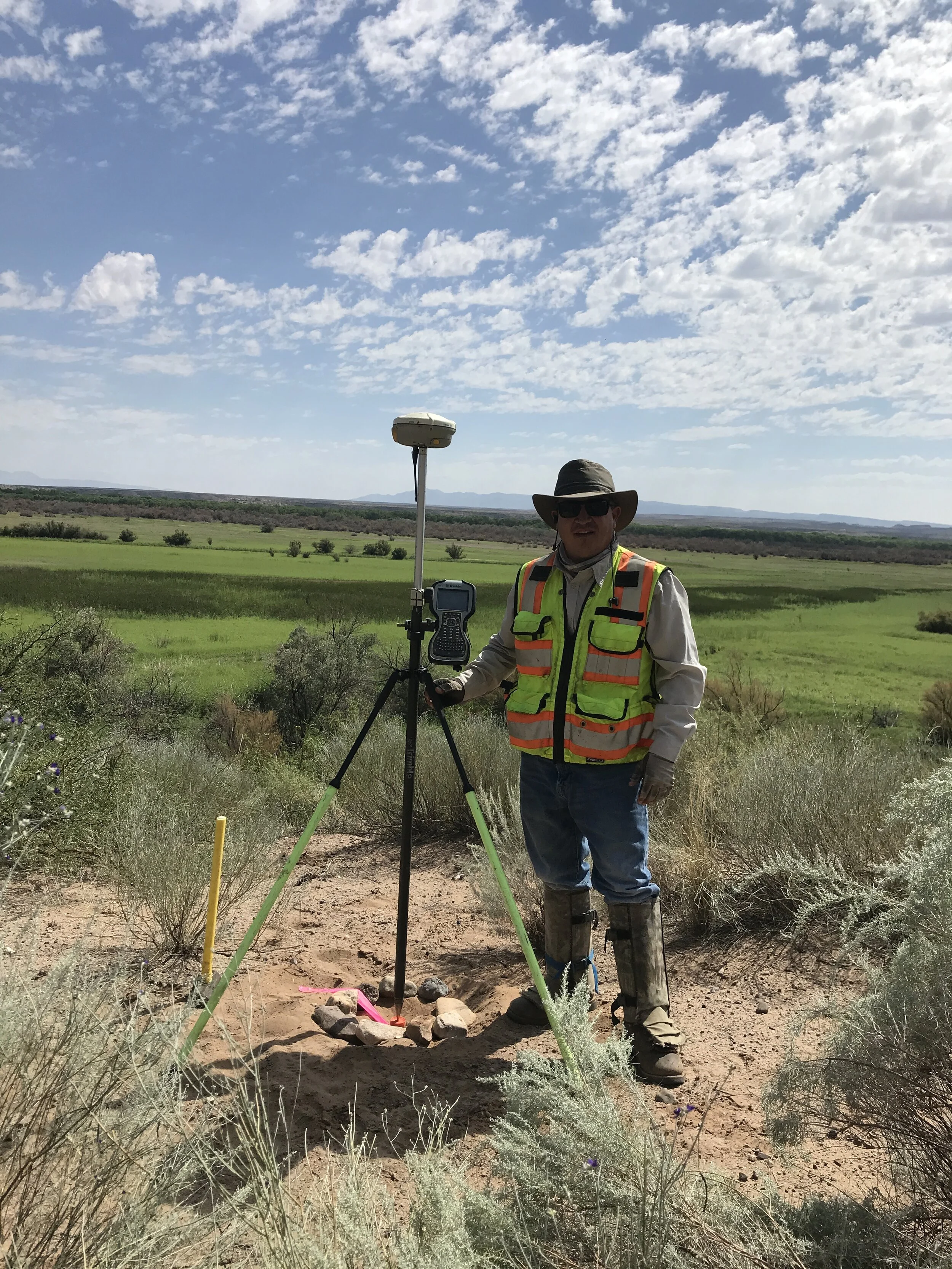
Ducks Unlimited Wetland Mapping
Infinity Land Surveying is a Sub Consultant to Ducks Unlimited and New Mexico State Game and Fish Dept. Together we are working on the rehabilitation of waterfowl migration areas and providing ground mapping services for DU Engineers and Planners. Infinity Land Surveying was tasked with setting all Horizontal and Vertical Control, GPS field work, and STATIC post processing to tie all projects to known DATUMS.


Harquahala Mine, AZ
-ESTABLISHED NGS HORIZONTAL AND VERTICAL CONTROL NETWORK
- 2.5 SQUARE MILES OF AERIAL MAPPING
- 12 GROUND TARGETS
- 2 GPS BASE SETUPS
- STATIC PROCESSING
-SIGNED, STAMPED, AND SEALED SURVEY REPORT
-FIELD TO FINISH IN 7 DAYS


CITY OF SHOWLOW AERIAL MAPPING PROJECT
- ESTABLISHED NGS HORIZONTAL AND VERTICAL CONTROL NETWORK
- 121 SQUARE MILES OF AERIAL MAPPING
- 33 GROUND TARGETS
- 4 GPS BASE SETUPS
- FIELD TO FINISH COMPLETED IN 7 DAYS


CEMEX QUARRIES AERIAL CONTROL
- ESTABLISHED NGS HORIZONTAL AND VERTICAL CONTROL NETWORK
- SET PERMANENT CONTROL ON ALL SITES
- SET 15 TARGETS AT FOUR DIFFERENT SITES ACROSS ARIZONA
- FIELD TO FINISH IN 2 WEEKS DUE TO WEATHER CONDTIONS